The ports of southern Tuscany
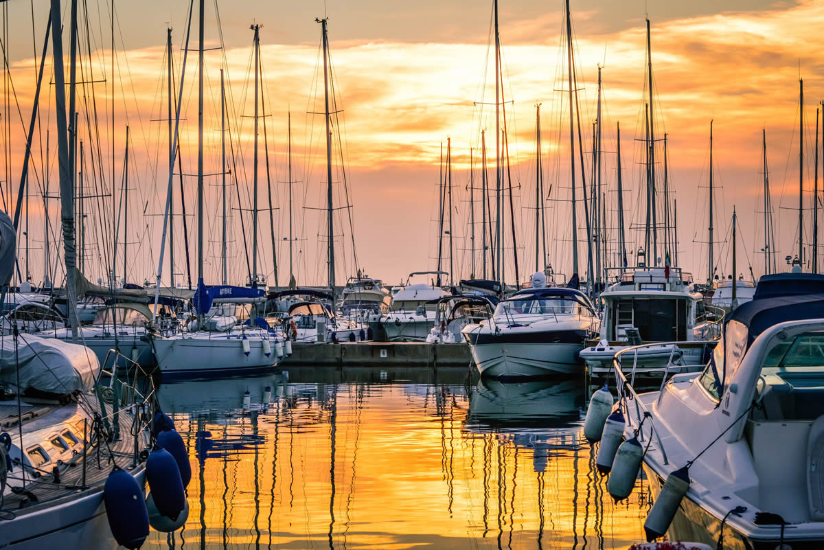
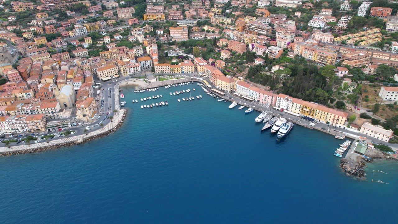
Porto Santo Stefano
Molo Vecchio – La Pilarella: thanks to its central location in the square of Porto Santo Stefano, the quay is in a unique and exclusive position. The berths represent the normal continuation of the promenade and the wonderful square of the districts and allow with a single step of being able to fully live the beauties of Porto S. Stefano, the sea, and the nature of the promontory of Monte Argentario.
Coordinates: 42°26,41′ N 11°07,08′ E
- Type of Port: Banchina
Dimensions of the Berths: From 15 to 80 meters
- Seafloor: Muddy
Winds: NNE – NE – W.
Traversie: NNE – N – E
Radio VHF: Ch. 9
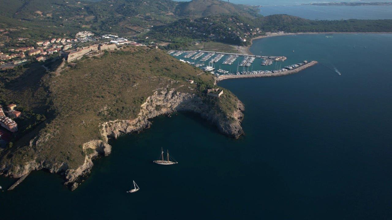
Porto Ercole
Marina di Cala Galera: Located on the southeast side of the promontory of Monte Argentario, in the area of Porto Ercole, the marina is in a position of exceptional beauty, bathed by the waters of the Tyrrhenian Sea with the coastal area of the Tuscan Maremma behind it. A modern touristic port, it offers visitors complete nautical assistance and is equipped to host up to 670 yachts with a length starting from 6 to 50 meters.
Coordinates: 42°24′,22 N – 11°12′,79 E
- Type of Port: Marina
- Dimensions of the Berths: From 6 to 50 meters
Seafloor: Sandy and muddy
Winds: SE – NW
Traversia: Est – SE
Radio VHF: Ch. 9
Scarlino
Marina di Scarlino: located in the heart of the beautiful Maremma countryside, just a few miles away from Elba Island, the Marina di Scarlino with its strategic location, the Resort, the Refit Boatyard- Nautor’s Swan authorized service center, the Yacht Club, and the Shopping Gallery, is the perfect marina for anyone who wants to enjoy a piece of authentic Tuscany.
- Coordinates: 42° 53’, 10’′ N _ 10° 47’, 10’’ E
- Type of Port: Marina
- Dimensions of the Berths: Up to 40 meters
- Seafloor: Sandy and muddy
- Winds: N, NW-W-SW.
- Radio VHF: Ch. 72
Punta Ala
Marina di Punta Ala: thanks to its strategic location, Marina di Punta Ala, famous for its sailing tradition, is an ideal starting point for anyone who wants to start discovering the Maremman coastline.
- Coordinates: 42° 48’, 418′ N _ 10° 44’, 22 E
- Type of Port: Marina
- Dimensions of the Berths: Up to 30 meters
- Seafloor: Sandy and muddy
- Winds: SE -W-NW
- Radio VHF: Ch. 09